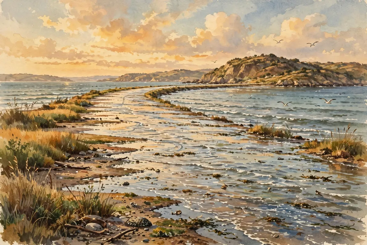
Imagine driving down a road and knowing that in a few hours, it will be completely underwater. Not from a flood or a storm, but from the ordinary rise of the tide. On France's Atlantic coast, that's just a normal day.
The road is called the Passage du Gois, sometimes spelled Gôa. It's a causeway about 2.6 miles long that links the mainland town of Beauvoir-sur-Mer to the island of Noirmoutier, in the Vendée region. Twice a day, high tide floods it completely. When the water pulls back at low tide, the road reappears and cars can cross again.
A Race Against the Tide
The Passage du Gois has inspired one of France's most unusual foot races. Every year, runners take part in the Foulées du Gois, which starts at the onset of low tide.
Here's the twist: the professional athletes don't start right away. They hold off until the water is as high as their shoes, which adds a real splash of drama to the race.
Tour de France Drama
The road even made its way into the world's most famous bike race. In 1999, the Tour de France sent riders across the Passage du Gois during its second stage. The wet, slippery surface caused a crash that split the pack of riders by six minutes.
That crash ended the hopes of several favorites, including Alex Zülle, who went on to finish second overall. The causeway returned to the Tour in 2011, this time as the starting point of the first stage.
Britain's Vanishing Roads
France isn't the only place with a road that comes and goes. In northeast England, near the Scottish border, the island of Lindisfarne, also known as Holy Island, is reached at low tide by a modern causeway and an ancient pilgrims' path. Both run over sand and mudflats that disappear under water at high tide.
Tide tables are posted at both ends of the causeway, and it's generally open from about three hours after high tide until two hours before the next one. Even so, about one vehicle a month gets stranded and has to be rescued. Stormy weather can sometimes flood the road before the official safe period ends.
Even with those rescues, local people have opposed putting a barrier across the causeway, mainly because it would be inconvenient. The island itself is surrounded by a national nature reserve that protects its sand dunes and tidal flats, and at certain times of year, large numbers of migratory birds can be seen there.
In Essex, England, there's an even older example. The Broomway, recorded as early as 1419, runs about 6 miles across the Maplin Sands to Foulness Island. It was named for the bundles of twigs on poles, called brooms, that once marked the route. Historians still disagree over whether the route follows a natural ridge of firmer sand or was built, at least partly, by people.
The Broomway can be extremely dangerous in misty weather. The incoming tide rushes across the sands at high speed, and swirling currents form where nearby rivers flow in. In fog, it can be impossible to tell which way the shore is. After a road bridge opened in 1922, the track mostly fell out of use.
Mind the Clock
Roads like these are a wonderful reminder that the ocean keeps its own schedule. If you ever visit one, check the tide times, follow the posted warnings, and don't push your luck. The sea always comes back, right on time.