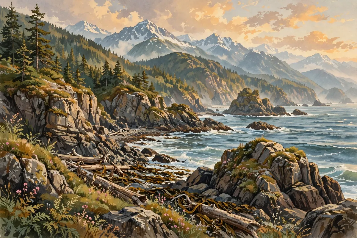
Ask a room full of people which state has the most coastline and you'll hear plenty of guesses. Florida, with beaches on two sides. California, with its long Pacific shore. Maybe Maine, with all those rocky inlets. They're all good guesses. But the true champion isn't even close.
The answer is Alaska. It has a longer coastline than all the other U.S. states combined. Its shores touch the Pacific Ocean, the Gulf of Alaska, the Bering Sea, the Chukchi Sea, and the Arctic Ocean. In the lower 48, the winner is Florida, with about 1,350 miles of coastline, not counting its many barrier islands.
Why Alaska Wins So Easily
Alaska is enormous. It's the largest U.S. state by area, with more land than Texas, California, and Montana combined. It's bordered by water on three sides, from the Arctic Ocean in the north to the Pacific in the south and the Bering Strait in the west.
Then there are the islands. The Aleutian chain stretches far out into the Pacific, so far that some islands cross into the Eastern Hemisphere. Each island adds its own ring of shoreline, and Alaska's coast is also cut by countless bays, fjords, and inlets that wiggle in and out.
Florida's Claim to Fame
Florida still holds an impressive title. It has the longest coastline in the contiguous United States. About two-thirds of the state is a peninsula, with the Gulf of Mexico on one side and the Atlantic Ocean on the other. It's the only state that borders both.
Across the country, 30 states have a coastline. Of those, 23 touch the Arctic, Atlantic, or Pacific oceans, including the Gulf of Mexico, and 8 border the Great Lakes. New York is the only one with both a Great Lakes shore and an Atlantic coast.
The Coastline Paradox
Here's the strangest part. No coastline has one true length. The measurement depends on how closely you look. If you trace a coast with a long ruler, you skip over small bays and points. Use a shorter ruler and you capture more twists and turns, so the total grows.
Scientists call this the coastline paradox. A researcher named Lewis Fry Richardson noticed it shortly before 1951, while studying whether the length of borders might affect the chances of war. He found that Portugal and Spain reported very different lengths for the same shared border: about 613 miles according to Portugal and 754 miles according to Spain. Mathematician Benoit Mandelbrot later expanded on the idea in a famous paper titled "How Long Is the Coast of Britain?"
That's why official lists of state coastlines use two different methods. One counts only the main ocean shoreline. The other adds tidal inlets and Great Lakes shores, which makes the numbers much bigger. Either way, Alaska comes out on top. The official figures even come with a warning that every attempt to measure a coastline runs into this same problem.
A Coast Like No Other
Alaska's coast is a world of glaciers, rocky cliffs, and dense forests. It's also remarkably close to another continent. In the Bering Strait, Alaska's Little Diomede Island and Russia's Big Diomede Island are only about 3 miles apart.
So the next time someone brags about their state's beaches, you'll have a great trivia answer ready. Florida may have the sunshine, but when it comes to sheer miles of shoreline, Alaska stands alone.