Here's a trivia question that stumps almost everyone. Which U.S. state is the farthest north? Easy, Alaska. Farthest west? Alaska again. Now, which state is the farthest east? Most people confidently say Maine. By one measure, the answer is Alaska.
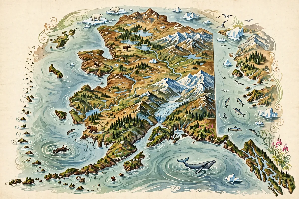
Here's how it works. Alaska's Aleutian Islands stretch so far west across the Pacific that some of them cross the 180th meridian, the line of longitude opposite the Prime Meridian in Greenwich, England. Islands on the far side of that line sit at east longitude. So, measured strictly by longitude, Alaska holds the easternmost point in the United States, along with the westernmost and northernmost.
East and West Meet in the Pacific
Longitude is measured east and west from the Prime Meridian, which is zero degrees. Halfway around the world sits the 180th meridian, where east and west meet. It's the most eastern and most western line on the globe at the same time.
Alaska's island chain straddles that line. Amatignak Island, at about 179 degrees west, is the westernmost point in U.S. territory by longitude. Just a bit farther along the chain, Pochnoi Point on Semisopochnoi Island sits at about 179 degrees 46 minutes east, making it the easternmost point in all U.S. territory by longitude.
People live out along that chain, too. The town of Adak is the westernmost incorporated city in the 50 states, and Unalaska is the westernmost city with more than 2,500 residents. For them, the edge of the map is just home.
But Maine Has a Fair Claim
There's another way to measure. If you go by direction of travel, meaning which way you'd actually head to get there, Maine wins. Sail Rock, off Lubec, Maine, is the easternmost point of the 50 states that way. West Quoddy Head, Maine, is the easternmost point on the U.S. mainland.
By that same direction-of-travel method, Alaska still takes the westernmost title among the 50 states, at Peaked Island off Attu Island. Past it lies the International Date Line, and then Russian islands. Fittingly, it sees the last sunset at the equinox in all U.S. territories.
So both answers are right, depending on the rules you use. That's what makes it such a great trivia question.
A State of Extremes
Alaska also holds the northernmost point in the country, Point Barrow. The town of Utqiaġvik, with about 5,000 people, is the northernmost incorporated place in all U.S. territory, and Juneau is the northernmost state capital.
Alaska is closer to another continent, Asia, than any other state. It shares a sea border with Russia in the Bering Strait. The town of Diomede, on Little Diomede Island, is the closest U.S. town to Russia, sitting near the Russian island of Big Diomede.
The Two Point Udalls
If you count U.S. territories beyond the 50 states, the record holders change again. By direction of travel, the easternmost point is Point Udall on St. Croix in the U.S. Virgin Islands, and the westernmost is Point Udall on Guam.
Yes, two places with the same name at opposite ends of the country. They honor two brothers from Arizona, Mo Udall and Stewart Udall, who both served in Congress. It's a fitting finish to a story where east and west turn out to be a lot more slippery than they look on a classroom map.