Pull out a map of the United States and you'll notice a lot of straight lines. Out West especially, states look like they were laid out with a ruler and a pencil. Yet one state on the map doesn't have a single surveyed straight edge anywhere.
That state is Hawaii. It's the only state made up entirely of islands, so it doesn't share a land border with any other state or country. Every one of its edges is a natural shoreline where land meets the Pacific Ocean, which means there are no straight boundary lines anywhere.
Why So Many States Are Straight
Because of the way the country grew, many state boundaries were drawn artificially instead of following natural features. That's why so many states, especially in the West, have straight-line borders. Colorado and Wyoming are famously close to rectangles.
In the Midwest, Northeast, and South, many borders follow rivers instead. Only four mainland states, Colorado, Montana, Utah, and Wyoming, have no borders formed by rivers or other waterways at all. Hawaii is in a category of its own, since its borders are simply its islands.
An Island Chain Like No Other State
Hawaii sits in the Pacific Ocean about 2,000 miles southwest of the U.S. mainland. It's the only state not on the North American mainland and the only state that's an archipelago, or chain of islands.
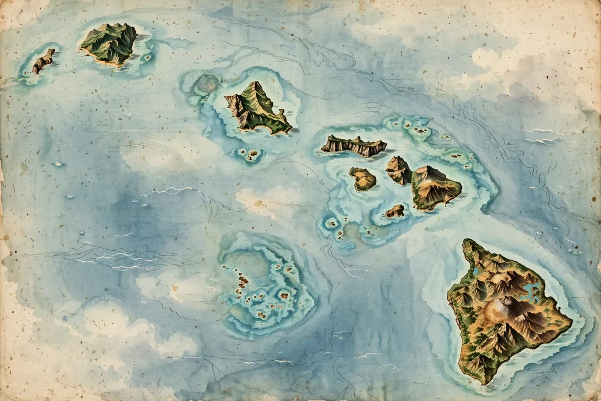
The state is made up of 137 volcanic islands spread across about 1,500 miles. The eight main islands are Niʻihau, Kauaʻi, Oʻahu, Molokaʻi, Lānaʻi, Kahoʻolawe, Maui, and Hawaiʻi, often called the Big Island. All of that shoreline adds up to roughly 750 miles of ocean coast, the fourth-longest coastline of any state.
The state takes its name from that last island, which is why locals call it the Big Island to avoid confusion. Hawaii is the eighth-smallest state by land area, and with about 1.4 million residents, it ranks 13th in population density.
Even Alaska, the other state that doesn't touch the lower 48, shares a long land border with Canada. Hawaii doesn't border anything but water.
A Kingdom Before a State
Hawaii's history is as unusual as its shape. Polynesians settled the islands sometime between 1000 and 1200 AD. In 1778, British explorer James Cook became the first known outsider from beyond Polynesia to arrive.
Hawaii became a unified, internationally recognized kingdom in 1810. It stayed independent until businessmen overthrew the monarchy in 1893, and the U.S. annexed it in 1898. Along with Texas, it's one of only two states that were recognized independent countries before joining the Union. That early British influence is why Hawaii's state flag includes the Union Jack.
More Ways Hawaii Stands Apart
Hawaii is the only state south of the Tropic of Cancer, and one of only two states, along with Florida, with tropical regions. It's also the only state that has never recorded a temperature below zero degrees Fahrenheit. Its record low, 12°F, was measured on the summit of the volcano Mauna Kea. It's also one of the most diverse states, and the only one where Asian Americans are the largest ethnic group.
So the next time you see an old map of Hawaii, notice how every edge curves and wiggles with the sea. No surveyors with chains and stakes drew those lines. The ocean did.