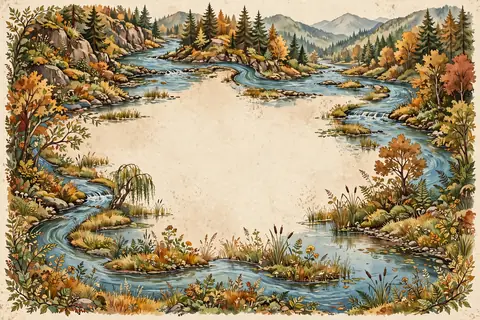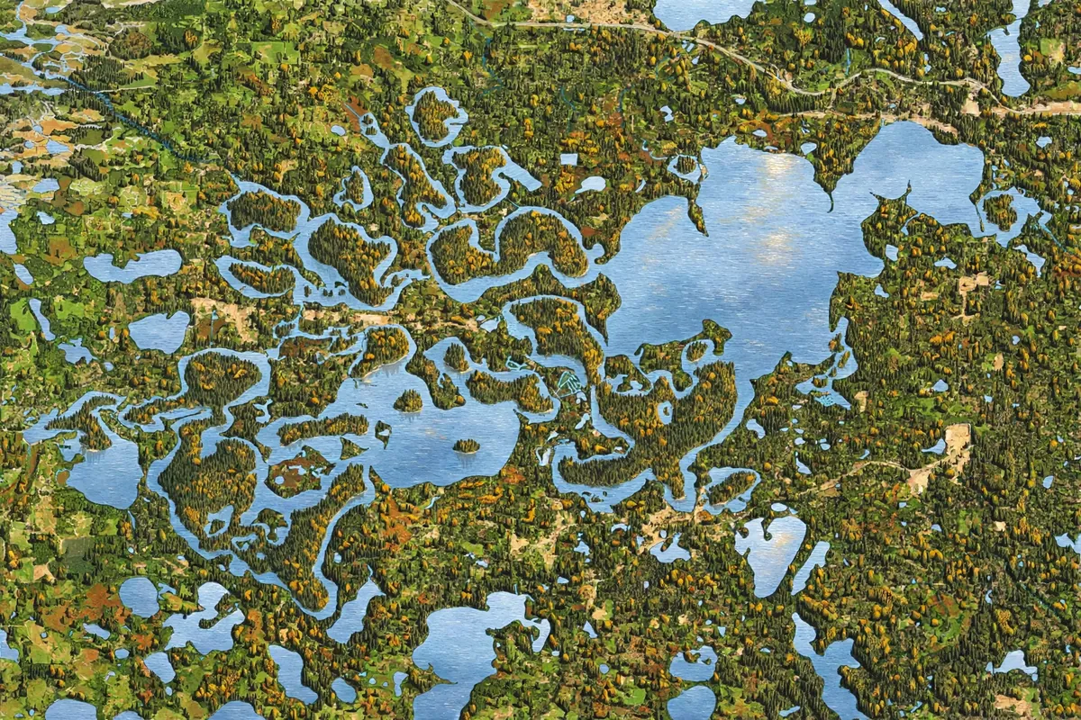
Fly over Minnesota on a summer day and the ground below looks like someone scattered a bag of blue sequins across a green blanket. Lakes are everywhere, big and small, tucked into forests and farmland. The state's famous nickname, the Land of 10,000 Lakes, turns out to be modest.
Minnesota has 11,842 lakes of 10 acres or more. Count every body of fresh water that size and the total climbs past 14,000. The main reason is the Ice Age. Massive ice sheets more than half a mile thick once covered nearly all of the state, and when they melted about 12,000 years ago, they left behind a landscape full of hollows that filled with water.
Sculpted by Ice
During the last glacial period, sheets of ice ground across Minnesota, reshaping the land as they went. The glaciers covered everything except the far southeast corner, a region of steep hills and streams cutting into bedrock. Because it lacks the rocky debris glaciers leave behind, that area is known as the Driftless Zone.
Across much of the rest of the state, the retreating glaciers dumped 50 feet or more of rock, sand, and clay, called glacial till. That uneven blanket of debris created countless dips and basins that could hold water.
How Ice Leaves a Lake Behind
One common type of glacial lake is called a kettle lake. As a glacier retreats, big blocks of ice can break off and get buried in sand and gravel washed out by meltwater. When the buried ice finally melts, the ground above it collapses, leaving a hole. Water fills the hole, and you have a kettle lake.
Kettle lakes are seldom more than about 33 feet deep, and over a very long time they slowly fill in with sediment. Multiply that process across a whole state, and you start to see how Minnesota ended up with so much water.
A Lake Bigger Than the Great Lakes
The glaciers also created one of the largest lakes that ever existed. About 13,000 years ago, meltwater formed Lake Agassiz, which covered parts of northern Minnesota, North Dakota, and Canada. At its peak, it was larger than all of today's Great Lakes combined.
When Lake Agassiz drained away, it left fertile farmland in the Red River valley. Its outflow, a powerful river called Glacial River Warren, carved the valley of today's Minnesota River. Lake of the Woods, on Minnesota's northern border, is one of its leftovers.
Water, Water Everywhere
Lakes are just the start of Minnesota's watery riches. Minnesota has 6,564 natural rivers and streams that together run for 69,000 miles. The mighty Mississippi River begins as a small stream flowing out of Lake Itasca, in the state's first state park, established in 1891. Minnesota also has about 10.6 million acres of wetlands, more than any state except Alaska.
The largest and deepest body of water in the state is its share of Lake Superior, which plunges to about 1,290 feet. Across the state, the lakes teem with sport fish such as walleye, bass, muskellunge, and northern pike.
So the next time you see a Minnesota license plate or hear someone mention the Land of 10,000 Lakes, you'll know the real story. Thousands of those lakes are footprints left by the Ice Age, and the state was generous enough to round down.