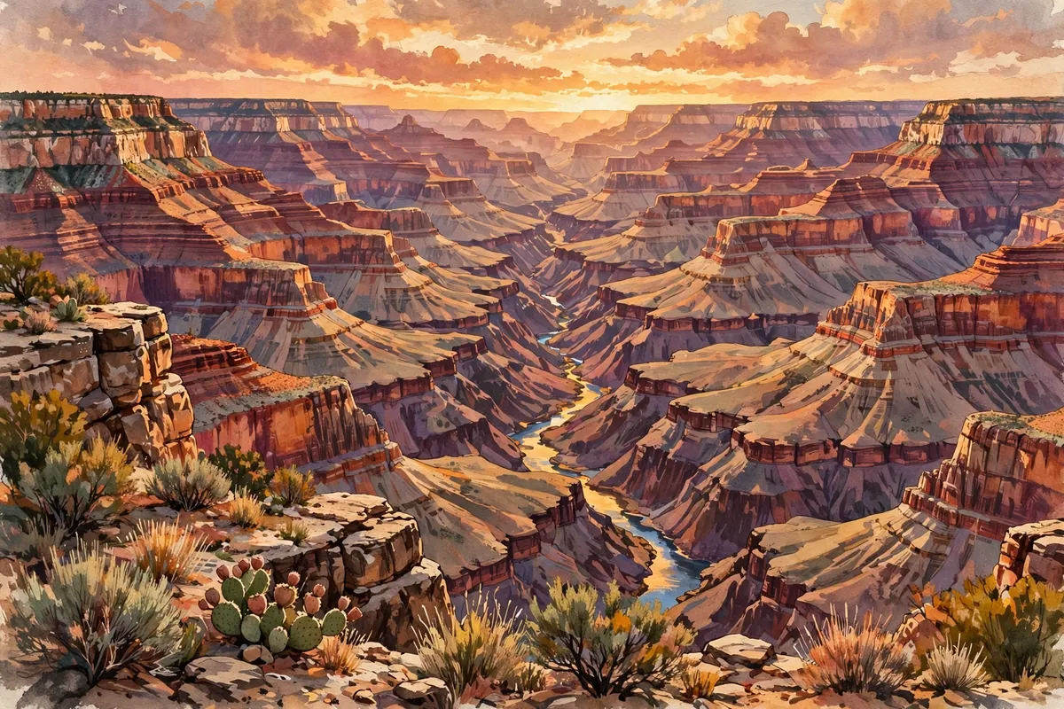
Stand at the rim of the Grand Canyon and the view barely seems real. Layer after colorful layer of rock drops away beneath you, down to a thin ribbon of river far below. How could a river possibly dig a hole this enormous?
The short answer: the Colorado River did the cutting, but it had help from below. Starting about 65 million years ago, the whole region, called the Colorado Plateau, was pushed upward by 5,000 to 10,000 feet. That uplift made the river steeper and faster, giving it the power to slice down through layer after layer of rock.
By the Numbers
The Grand Canyon is 277 miles long, up to 18 miles wide, and more than a mile deep, reaching 6,093 feet. Its walls expose nearly two billion years of Earth's history.
Surprisingly, it isn't the deepest canyon on land in the world. That title belongs to the Kali Gandaki Gorge in Nepal, which is much deeper. The Grand Canyon is famous instead for its overwhelming size and its colorful, intricate layers.
A River on a Rising Table
Most of the rock layers in the canyon walls formed below sea level. Mountain-building forces later lifted them thousands of feet, creating the high Colorado Plateau.
That lift steepened the slope of the Colorado River and its tributaries, which made them faster and better at cutting through rock. Several recent studies suggest the river settled into its course through the area about 5 to 6 million years ago, and it has been deepening and widening the canyon ever since. Geologists still debate some details of that history.
The ice ages pitched in, too. Weather during those cold periods sent more water down the river system, and the ancestral Colorado responded by cutting its channel faster and deeper.
Why One Side Is Different
The land didn't rise evenly. The North Rim stands more than 1,000 feet higher than the South Rim, at an average of about 8,000 feet above sea level, and it gets more rain and snow.
Almost all of the runoff from the North Rim flows toward the canyon, while much of the water behind the South Rim drains away from it. That's why the north side has longer, deeper side canyons, and the south side has shorter, steeper ones.
Two Billion Years in the Walls
Reading the canyon walls is like paging through Earth's diary. At the bottom of the Inner Gorge lies the Vishnu Schist, about two billion years old. At the rim sits the Kaibab Limestone, about 270 million years old.
There's even a missing chapter. A gap known as the Great Unconformity skips roughly 500 million years, from 1.75 billion to 1.25 billion years ago, with no rock layers left to show for it.
Early visitors struggled with the scale. Spanish soldiers who reached the South Rim in 1540 tried to climb down but turned back about a third of the way because they ran out of water. They reported that some of the rocks were bigger than the Giralda, the great tower of Seville. Native Americans, of course, had lived in and around the canyon for thousands of years.
So the Grand Canyon is really a team effort: a patient river, a rising plateau, and millions of years of time. Standing at the edge, you're looking at one of the best-kept records of our planet's past.