Out in the high desert of the American Southwest, there's a round marker on the ground that draws visitors from all over. People bend, twist, and stretch across it in all sorts of funny poses. They're trying to do something you can't do anywhere else in the country.
This is the Four Corners Monument, the only point in the United States shared by four states. Arizona, Colorado, New Mexico, and Utah all meet right there. Stand in the middle and you can have a hand or foot in each state at the same time.
What You'll Find There
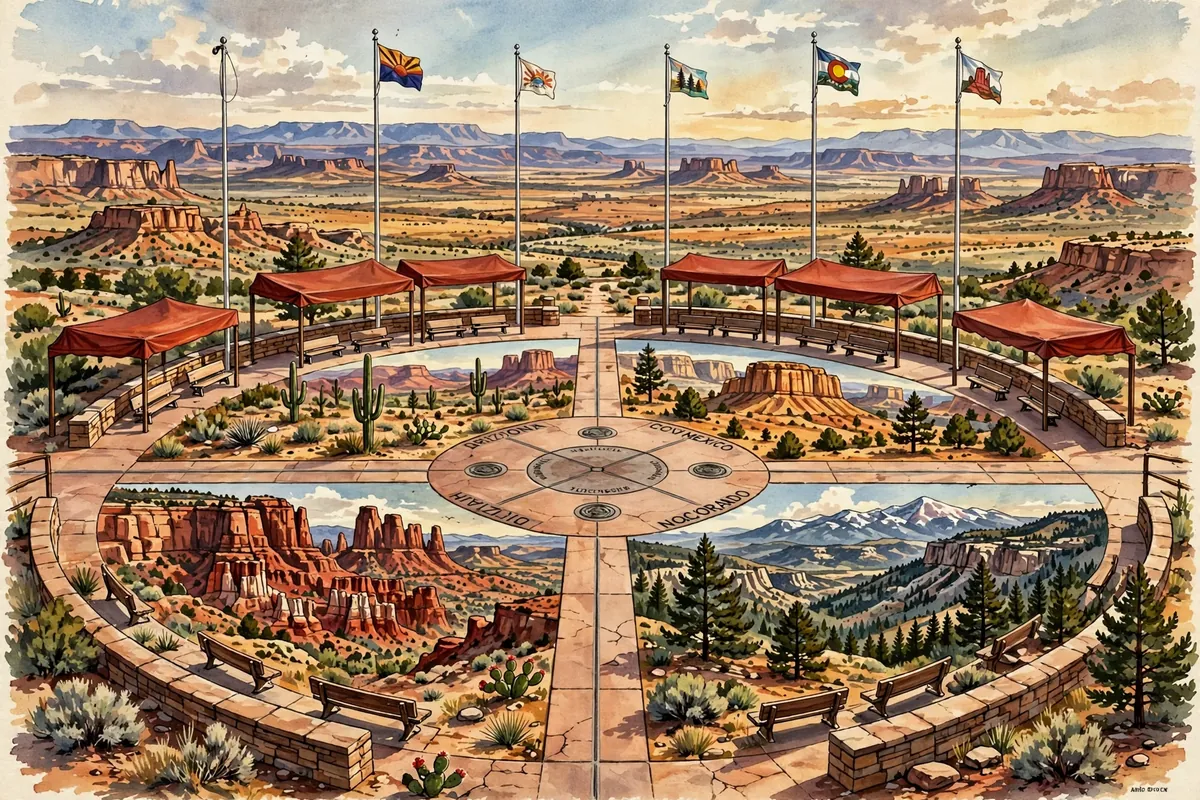
The monument is a granite disk with a smaller bronze disk at the exact meeting point. Around it are state seals and flags for the four states and for the tribal nations of the area. Going around the circle, starting from Colorado, the disk reads, two words to each state: Here meet in freedom under God four states.
The monument sits on land of two Native American nations, the Navajo Nation and the Ute Mountain Ute Tribe. The Navajo Nation runs it as a tribal park, and local Navajo and Ute artisans sell crafts and food nearby. There's an admission fee, and it's about 40 miles southwest of Cortez, Colorado.
It's remote, but that doesn't stop people. Visitors come from far away to snap photos in Twister-style poses, to sit on the disk, to gather in a family circle around it, or for couples to share a kiss right over the center.
Why the Lines Cross There
The borders were drawn mostly around the time of the Civil War, when Congress was organizing territories in the region. Lines were based on parallels and meridians, the imaginary grid lines on maps. In 1863, Congress created the Arizona Territory by splitting New Mexico along a north-south line, which extended the border between Colorado and Utah. That's what created the four-way corner.
Surveyors then had to find and mark those lines on the ground. In 1875, surveyor Chandler Robbins worked his way north along the Arizona-New Mexico border and, where it met an earlier survey line, set up a sandstone marker. That spot is where the monument stands today.
The marker has had a few makeovers. The original stone was broken by 1899 and replaced, then replaced again in 1931 with a brass disc set in concrete. The monument was rebuilt in 1992 with the disk set in granite, and again in 2010.
Is It in the Wrong Spot?
In 2009, news reports claimed the monument was about 2.5 miles away from where it should be. That turned out to be a mistake. The reports assumed surveyors used the modern Prime Meridian, but 19th-century surveys used an older reference line based on Washington, D.C.
There's a small kernel of truth, though. The National Geodetic Survey says the marker is roughly 1,800 feet east of where Congress originally intended it in 1863. But that doesn't matter legally. The early survey markers were accepted by all the states, and the Supreme Court ruled in 1925 that markers from the original surveys are the actual borders. So the Four Corners Monument really is where the four states meet.
So if you ever find yourself in the Southwest, it's worth the drive. Where else can you visit four states in about four seconds and come home with a photo to prove it?