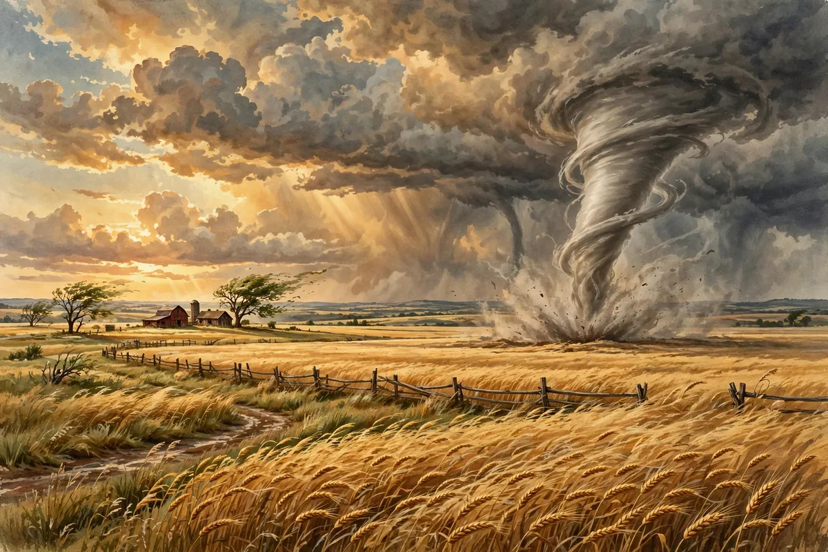
Few things in nature are as frightening, or as mesmerizing, as a tornado. One minute there's a dark thunderstorm on the horizon. The next, a spinning funnel drops from the clouds and starts tearing across the land. How does a regular storm turn into something so violent?
Here's the short answer. Most strong tornadoes come from a special kind of thunderstorm called a supercell, which has a large area of rotating air a few miles up, known as a mesocyclone. Falling rain drags down a rush of air that pulls that rotation toward the ground. As it tightens and strengthens, it can become a tornado. Even so, scientists admit many details of how tornadoes form are still poorly understood.
It Starts With a Spinning Storm
A supercell is a powerful thunderstorm with organized rotation built in. Its mesocyclone is usually about 1 to 6 miles across. These storms are known for very heavy rain, frequent lightning, strong wind gusts, and hail. Most of the most intense tornadoes, rated EF3 to EF5, come from supercells.
Part of the spin comes from wind shear, when winds change speed or direction at different heights. That creates rolling, horizontal spin in the air. When a storm's strong updraft sucks in that air, it tilts the spin upright, giving the storm vertical rotation.
From the Clouds to the Ground
As rainfall increases, it drags down an area of quickly sinking air called the rear flank downdraft. This downdraft speeds up as it nears the ground and pulls the rotating mesocyclone down with it.
As the rotation drops below the cloud base, cool, moist air meets warm rising air, and a rotating wall cloud forms. The rotation narrows, drawing air from a smaller and smaller area, the way a figure skater spins faster when she pulls in her arms. Low pressure at the surface helps pull a visible funnel downward. Usually within a few minutes of the downdraft hitting the ground, the funnel starts causing damage. At that point, it's a tornado.
Interestingly, field studies show the downdraft can't be much colder than the rising air. If it's more than a few degrees cooler, the storm generally won't produce a tornado.
Why America Is Tornado Country
The United States averages about 1,200 tornadoes a year, far more than any other country. The reason is geography. North America has no major east-west mountain range to stop cold air from the north and warm air from the south from colliding.
The Gulf of Mexico pumps warm, moist air northward near the ground, while the Rocky Mountains send drier air across at higher levels. When these meet over the central and southeastern states, known as Tornado Alley, they breed strong, long-lived storms. Spring is peak season, but tornadoes can happen any time of year.
Big, Small, and Strange
Most tornadoes have winds under 110 miles per hour, are about 250 feet across, and travel a few miles before fading. The most extreme can top 300 miles per hour, stretch more than 2 miles wide, and stay on the ground for over 60 miles. In the U.S., 80 percent of tornadoes are in the two weakest categories, and less than 1 percent are violent.
Thanks to Doppler radar and storm spotters, forecasters can often spot the warning signs before a tornado touches down. So when the sirens sound, take them seriously, head to a safe spot, and let the scientists do the storm chasing.