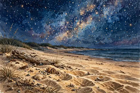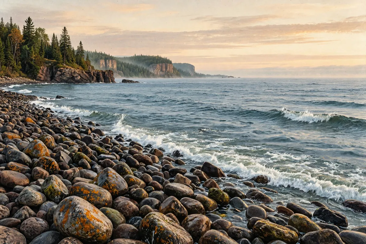
If you've never seen one of the Great Lakes, the first look can be a surprise. You stand on the beach, look out, and see nothing but water to the horizon. Waves roll in. Storms whip up whitecaps. It feels much more like a coast than a lakeshore. So how did North America end up with lakes this big?
Here's the short answer: glaciers. During the last Ice Age, a gigantic ice sheet covered much of the continent. As it ground across the land, it carved out huge basins. When the climate warmed and the ice retreated, starting roughly 14,000 years ago, those basins filled with meltwater and became the Great Lakes. Lake Superior also sits in an ancient crack in the Earth's crust.
Carved by a River of Ice
The ice sheet that shaped the region is called the Laurentide Ice Sheet. When it finally melted back at the end of the last glacial period, it left behind enormous amounts of meltwater. Ancient lakes with names like Lake Algonquin and Lake Chicago filled the gouged-out basins, gradually becoming the lakes we know today.
Glaciers don't erode evenly, so some higher hills were left standing and became islands. The lakes now hold about 35,000 islands. Once the heavy ice was gone, the land underneath slowly rebounded upward, and since some areas had been buried longer than others, it rose at different rates.
Superior's Head Start
Lake Superior had an extra advantage. It sits in an ancient rift valley called the Midcontinent Rift, where the continent's crust was once torn apart, creating one of the deepest rifts in the world. That rift has been inactive for an extremely long time, and today the lake lies right in the old rift valley.
The rift left other gifts behind too. Lava that erupted there formed the black basalt of places like Isle Royale, and amethyst formed in some of the rift's cavities. Several amethyst mines still operate near Thunder Bay, Ontario.
Just How Big Are They?
The numbers are staggering. Together, the Great Lakes are the largest group of freshwater lakes on Earth by area, covering about 94,250 square miles. They hold about 21 percent of the world's surface fresh water and about 84 percent of North America's.
Spread evenly, that water would cover the lower 48 states to a depth of about 9.5 feet. Depending on how you measure, Lake Superior, or Lakes Michigan and Huron counted together, is the largest freshwater lake in the world by surface area. Lake Michigan is the largest lake entirely within one country. Cities like Chicago, Detroit, Cleveland, and Toronto grew up along their shores, and the lakes have long been highways for trade and travel.
Inland Seas
With rolling waves, strong currents, steady winds, great depths, and distant horizons, it's no wonder the Great Lakes have long been called inland seas. In winter, storm waves even build ice volcanoes, cone-shaped mounds that erupt water and slush. The phenomenon is well documented only on the Great Lakes.
Surprisingly, only about 1 percent of the lakes' water is new each year, arriving from rivers, rain, and springs. The lakes were first filled by rain and by meltwater from glaciers that no longer exist. So the next time you dip your toes in one of the Great Lakes, you can thank the Ice Age for the view.